
Allendale Township ZIP Code Directory Coverage
ZIP 49401 is the primary postal ZIP surfaced for Allendale Township. The reviewed sources also identify nearby 49426, Hudsonville, and 49428, Jenison, as possible edge service areas. No official static parcel-level crosswalk was located for every township edge. The table is therefore a verification starting point, not a claim that each nearby route falls within the township.
| ZIP | Areas Covered | Post Office | Notes |
|---|---|---|---|
| 49401 | Primary Allendale postal area | Allendale, 6370 Lake Michigan Drive, Suite 800 | Confirm the specific parcel with USPS and Ottawa records. |
| 49426 | Nearby Hudsonville postal area | Hudsonville label | Possible edge service area; no exact township crosswalk located. |
| 49428 | Nearby Jenison postal area | Jenison label | Possible edge service area; verify by address. |
| Other Ottawa ZIPs | Grand Haven, Holland, Zeeland, Spring Lake and nearby areas | Regional postal labels | Postal proximity does not identify a township parcel. |
The township sits around Lake Michigan Drive and GVSU, but a postal city, school district, tax unit, and county parcel field can differ. Preserve which source supplied the ZIP rather than treating each geography label as interchangeable.
Allendale Township ZIP Code Directory Terms
A ZIP code is a postal delivery label. It is not a political boundary, tax district, school district, neighborhood, or proof of residence. ZIP+4 adds delivery detail to a base ZIP. A PO-box ZIP routes box mail. A unique ZIP can serve one organization. A carrier route is a postal delivery grouping. None replaces the county parcel geometry or an official township boundary.
- ZIP versus township
- USPS assigns delivery geography, while the township and county use administrative boundaries and parcel records.
- Situs address
- The physical property location shown by a parcel record.
- Mailing address
- The address used for correspondence, which can be outside the property’s municipality or ZIP area.
- ZCTA
- A Census statistical area. Michigan’s state ZIP map warns that ZIP boundaries do not coincide with ZCTAs.
The Michigan DTMB ZIP reference map labels 49401 and nearby Ottawa ZIPs for general orientation. It expressly does not determine a particular parcel’s boundary. Use it to see regional context, then switch to USPS and county records for an address.
Find Allendale Township Residents by ZIP
A ZIP-based search begins with postal verification and ends with a source that records the specific fact. Ottawa’s property search is keyed to owner, parcel, house number, and street name rather than ZIP. That makes ZIP a narrowing clue, not a property-search replacement. The county map and property record should follow once the search produces a likely address.
- Use the full address in USPS when available, or use city and state to identify a postal ZIP.
- Open the Ottawa property portal and search by house number and street name, parcel number, or owner.
- Check the property’s situs address, mailing address, parcel number, local tax unit, and map link.
- Use a ZIP-capable official search only as an added field, then verify the returned record against a parcel or issuing agency.
- Record whether the ZIP came from USPS, a property record, a map, or another official system.
Once a ZIP narrows the area to a street, use the Allendale Township street directory for the address-by-address record trail. That route is designed for parcel and deed context rather than postal geography.
Allendale Township Postal Verification
USPS ZIP Code Lookup is the delivery verification route. Its city-and-state search accepts a postal city and state, while address modes can give a more definite result when the complete address is known. The Allendale post office location identified in the research is 6370 Lake Michigan Drive, Suite 800, Allendale, MI 49401-8078. The result confirms mailing geography, not tax jurisdiction or who is associated with an address.
| City and state | Required for the USPS city/state route; returns postal ZIP information. |
|---|---|
| Full address | Use when exact delivery verification is needed. |
| Result use | Format and delivery routing only. |
| Next check | Ottawa property search and GIS for parcel and local-unit context. |
The USPS lookup form is shown below. Its scope is postal, which is why a county parcel result remains necessary for Allendale Township geography.
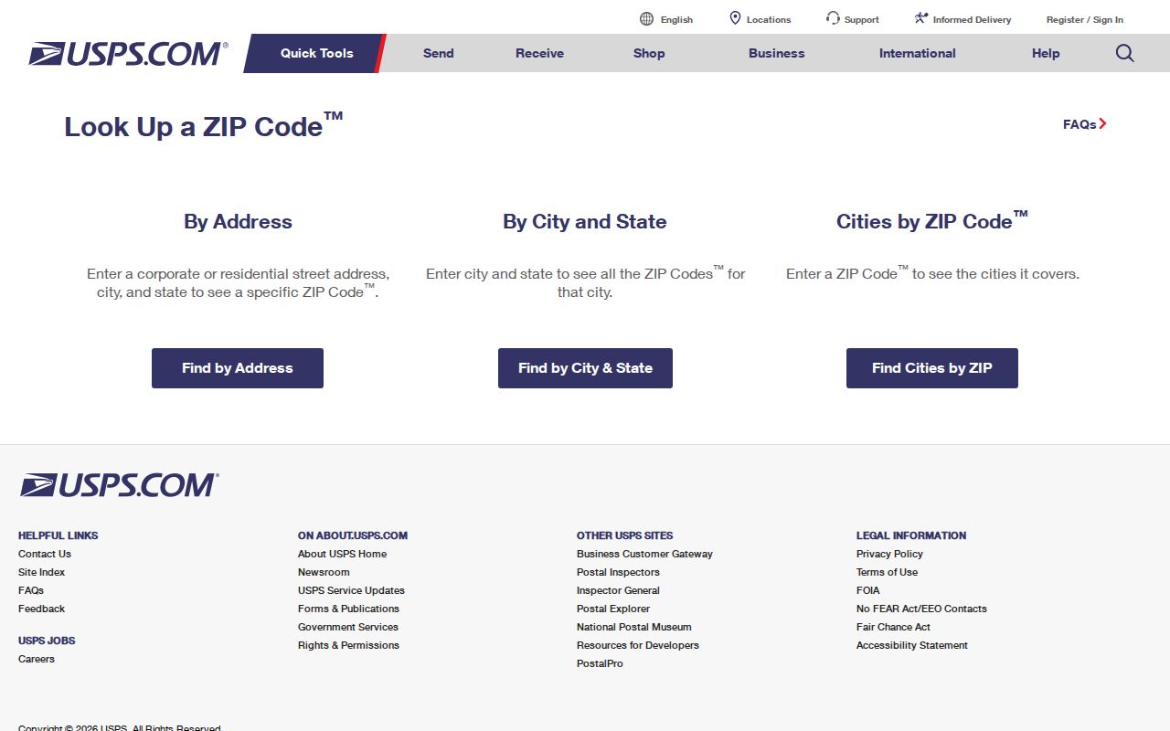
The postal result should be saved with its lookup date because delivery conventions and route assignments can change.
Allendale Township Parcel Checks
Ottawa County Property Search and the Ottawa GIS property viewer answer a different question from USPS. Property search accepts owner last name, optional first name, segmented parcel number, house number, street name, and active or inactive parcel choices. The viewer gives current parcel and map context, although the complete dynamic layer inventory was not exposed in the reviewed text materials.
A county parcel can show an Allendale situs address while the owner’s mailing address is elsewhere. One researched example has an Allendale tax unit and address fields; another Ottawa example has a situs location with a Jenison mailing address. This is an administrative distinction, not a conclusion about who lives at either property. The parcel number, legal description, local tax unit, and viewer date are stronger context than a ZIP alone.
Note: County property records identify assessment and parcel fields, not guaranteed current occupancy.
Allendale Township Addressing System
Township address assignment is another separate system. Allendale Charter Township’s address application asks for the applicant’s information, proposed building or address, parcel, approved split date, and electronic signature. Address numbers require a current legal survey approved by the Chief Building or Zoning Administrator. The Fire Chief assigns numbers according to the approved sequence.
Land division and address-change materials can also reference roads, easements, utilities, improvements, wetlands, legal descriptions, and future division rights. These documents help explain a changed number or a parcel split. They do not authorize a researcher to guess an old address from a map. Use the actual survey, parcel, or municipal record when a historical number no longer matches current delivery format.
Allendale Township ZIP Search Fields
Different official systems accept ZIP in different ways. LARA Accela can search by city, state, and ZIP alongside name, business, parcel, and street fields. The Michigan statutory registry accepts ZIP as an address criterion and offers radius options. USPS uses postal city, state, or address. Ottawa property search does not list ZIP as a primary search field. A result from any one system still needs a source-specific interpretation.
| Official route | ZIP field use | What it can narrow | What it cannot prove |
|---|---|---|---|
| USPS Lookup | City/state or address | Postal delivery ZIP | Parcel jurisdiction or residence |
| LARA Accela | City, state, ZIP | Public license-record search fields | Personal locality beyond displayed record context |
| Michigan statutory registry | ZIP and optional radius | Published statutory-search geography | Complete criminal history or identity match |
| Ottawa Property Search | No primary ZIP field observed | Address, owner, or parcel search | Postal delivery ZIP without USPS confirmation |
Use ZIP to reduce a search area, then rely on the official field that matches the question. A ZIP match should never become a stand-alone identification.
Allendale Township ZIP Boundaries
ZIP boundaries and city limits can disagree because they serve different functions. Postal city labels can cross township or municipal lines. A property’s school district can differ from its mailing city. An owner’s correspondence address may not match the situs address. The county property record, GIS position, and official township boundary are the relevant checks when the task is locating a parcel inside Allendale Township.
For any edge location, document the USPS result, property portal record, parcel viewer date, and tax-unit field separately. That record trail is more honest than assigning a township from a nearby ZIP label.
Allendale Township ZIP Code History
No reliable official historical ZIP realignment timeline specific to Allendale Township was located. Do not project today’s 49401 label backward onto every old directory, newspaper, postal cover, or deed. Read the original source first. An old address may use a regional place name, an earlier township boundary, or a street format that predates a parcel split.
Allendale’s historical anchors include the 1849 township organization, Malta and Allandale naming, the 1851 and 1854 boundary changes, and the GVSU site selection in 1961. They help place a record in time, but none supplies a ZIP for a historical person or building. Historical postal interpretation must remain tied to the original item.
Allendale Township ZIP Code Limits
A ZIP code is a useful search clue, but it is not an identity key. It should not be used to infer a household, property owner, or neighbor. Protected addresses, sealed records, confidential adoption information, and Address Confidentiality Program details remain protected even when other public sources appear to overlap. Do not combine records to locate a protected address.
Use official postal, county, township, and state sources for lawful personal research, family history, and civic questions. If a result conflicts, preserve the source and ask the custodian about the specific record. Avoid publishing private contact details or a parcel-specific conclusion that the official source does not support.